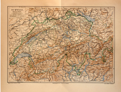
 Old maps are very useful for environmental, past industrial and genealogical studies and also helps teach history to the public. Maps express the natural distribution of space as well as social, cultural and economic information. They can provide great insights to the history and art of a specific place, genealogy, explorations, and even the family history of residents. All this is possible only if maps are available in digital format rather than as old fragile manuscripts. Digitization of old maps increases their accessibility, and when combined with online catalogs, improves search capability in a variety of ways. The primary reasons for digitizing a map are:
- Allows easy access
- Protects physical originals and minimize the need to handle them
- Facilitates standard quality prints
Main Steps involved in Digitizing Historical Maps
Scanning and indexing of historical maps usually includes four main steps
- Step I: Scan or photograph paper maps to create electronic image files, typically of formats such as .TIF, .JPG, or .GIF.
- Step II: Georectification of scanned images to align the map with a geographical projection is the next step. The process stretches the flat map to confirm to the curved surface of the earth and tells the computer where in the world a map is.
- Step III: Digitization of map features forms the third step. Images of a georectified map are pulled up on a computer screen, and a mouse is used to trace features from the original map, including points, lines, and polygons. Map features are often grouped into coherent layers. For example, streets in one layer, buildings in another, and so on.
- Step IV: Adding attributes to map features forms the final step. In this stage, a spreadsheet-like table of data is created, which is linked to the electronic map.
Digitization of Rare Maps in Texas
According to a recent report, Texas has digitized a collection of rare maps and made them available public with the intention to save the history of Texas. These oldest and rarest maps of the country were gathered from the private collection of two Houston-based private map collectors and then digitized and archived at the General Land Office.
This unique campaign brings together private and government efforts to preserve the 35.5 million maps and documents at the Texas General Land Office (GLO). The Texas Historical Commission has lauded this monumental effort to digitally preserve these historic treasures. Also, other private collectors are also being encouraged to donate and digitize their map collections and preserve them at the Texas GLO.
The aim of the Texas map digital preservation project is preservation and education – to conserve these documents for future generations and educate Texans about their rich heritage as showcased by these vital records. This is really advantageous for school children studying Texas and American history and geography, as well as for scholars and people who simply like looking at historic maps.


